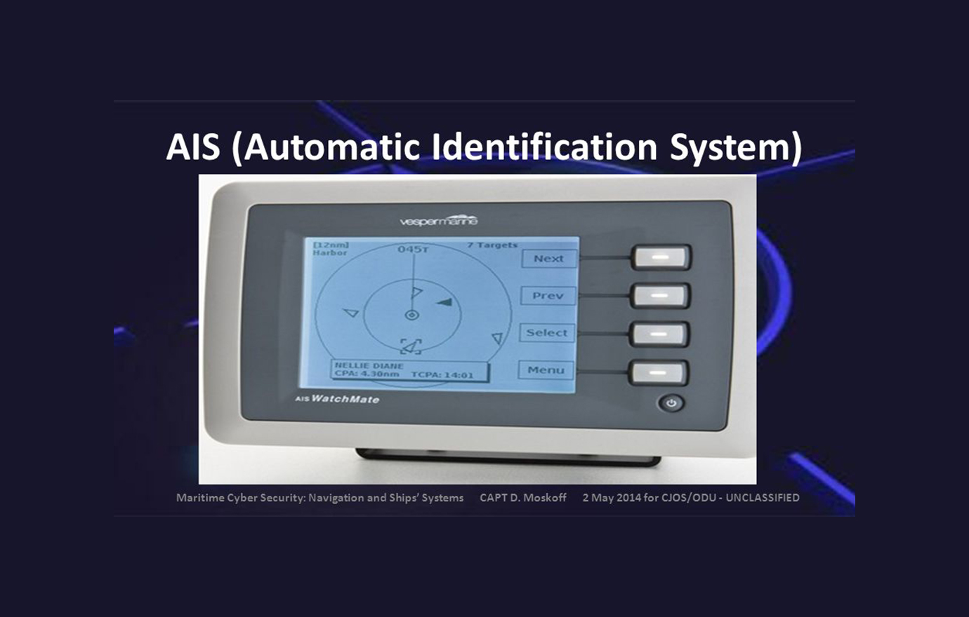
Automatic Identification System
Automatic Identification System (AIS) is a key technology used in the marine industry for tracking and identifying vessels in real time. Automatic Identification System is a globally adopted system that enhances maritime safety, navigation, and collision avoidance. Each AIS-equipped vessel automatically broadcasts information.
Features of AIS
Two Types of AIS
Class A AIS: Required for larger commercial vessels (typically 300 GT and above). It provides detailed information like vessel type, size, and operational status. Class B AIS: Designed for smaller vessels (like leisure boats or fishing vessels) with fewer details but still offering essential tracking and identification features.
Real-Time Vessel Tracking
AIS allows the real-time tracking of vessels, providing their exact position, speed, and course. This helps other vessels and maritime authorities avoid collisions and navigate more safely.
Position Reporting
The system continuously transmits the vessel’s position, which is obtained via GPS or similar positioning systems. This helps with accurate monitoring, including updates on the vessel’s course, speed, and heading.
Collision Avoidance
AIS provides vital data to help prevent collisions at sea. The system alerts operators about nearby vessels and their movements, allowing for timely course adjustments to avoid accidents.
Identification Information
AIS broadcasts unique vessel identifiers such as the MMSI (Maritime Mobile Service Identity) number, vessel name, type, and dimensions, along with the navigational status.
Search and Rescue Support
In the event of an emergency or distress situation, AIS can provide rapid identification and location data to rescue operations, significantly improving response times.
Automatic Data Transmission
The AIS transmits data automatically to other nearby vessels and shore stations at regular intervals, typically every few seconds when in motion. The system updates depending on the vessel’s speed and position.
Anti-Piracy and Security Features
AIS can help detect suspicious vessel movements in piracy-prone areas, aiding security forces in taking preventive actions or intervening in maritime crime.
Communication Between Vessels
Vessels can use AIS to communicate with each other, including sending and receiving safety-related messages. This helps coordinate movement in congested waters and aids in navigation in poor visibility.
Long-range tracking and identification systems
Accurate Positioning and Tracking-The system provides precise tracking capabilities, with accurate location coordinates of moving or stationary objects. This can be achieved through GPS, radar, LIDAR, or other location-based technologies. Real-time updates and continuous tracking are essential to ensure the position is always known.
High Detection Range
The system can detect objects or targets from a significant distance, often ranging from several kilometres to hundreds of kilometres, depending on the technology used.
Data Fusion and Analysis
Long-range tracking systems often employ data fusion algorithms to integrate information from multiple sensors, enhancing the quality and reliability of tracking and identification. Machine learning and AI might be used for intelligent data processing and anomaly detection.
Real-Time Processing and Alerts
These systems process information in real time, offering immediate data and alerts when a tracked object is identified or when a threshold is crossed. Automated alerts and alarms help operators take swift action when needed.
Multiple Sensor Integration
Many long-range tracking systems use a combination of sensors like radar, infrared cameras, sonar, electro-optical (EO) sensors, LIDAR, and acoustic sensors for better accuracy and reliability. These multi-sensor systems help to track objects in varying conditions such as night, fog, or harsh weather.
Weather and Environmental Resilience
These systems are designed to operate in diverse and challenging environments, including extreme weather conditions like storms, heavy rain, or fog. Some technologies (e.g., radar) are particularly effective in all-weather operations, making them reliable for a wide range of conditions.
High Resolution and Image Quality
High-resolution cameras and sensors are used for detailed image capturing over long distances, which is essential for identifying targets clearly. Technologies like thermal imaging and night vision are also commonly used to improve visibility in low-light conditions.